Latest Aurora Images from Space
Space weather phenomena are triggered by events occurring on the Sun and in interplanetary space, and produce impacts in the natural Earth environment ranging in size from the global to the regional scale. Fundamentally, space weather is driven by changes in the Sun's magnetic field and the subsequent consequences of those changes on and around the Earth. The most visible manifestation of space weather is the aurora, which have delighted and fascinated mankind for centuries.
Aurora is a marvellous display in the skies most easily seem from high latitude locations, but also seen at mid-latitudes. The South Island of New Zealand is one-such location. We are lucky enough that aurora can regularly seen low in the southward skies, and occasionally overhead. In collaboration with Otago Museum, we have created an Aurora Australis Dunedin Nowcast to provide warnings of aurora visibility in our region.
This has caused us to seek out auroral images taken from satellites as the pass overhead, and display the previous nights image on the Nowcast website. originally, we used images from NOAA's Suomi NPP satellite. However, we have since realised that both NOAA-20 and NOAA-21 are carrying the same instrument, and also produces nighttime auroral images over New Zealand. At the same time, we thought it might be interesting to show images for our friends in Europe and particularly our collaborators from the UK. We have created this website to display the most recent images. The images are made in the early evening (New Zealand time), and will show observations from the previous day. It is not really possible to provide the images earlier - we have to wait for the data to be available from NOAA, and then a lot of time is spent processing the images to get them web-ready.
NEW ZEALAND IMAGES
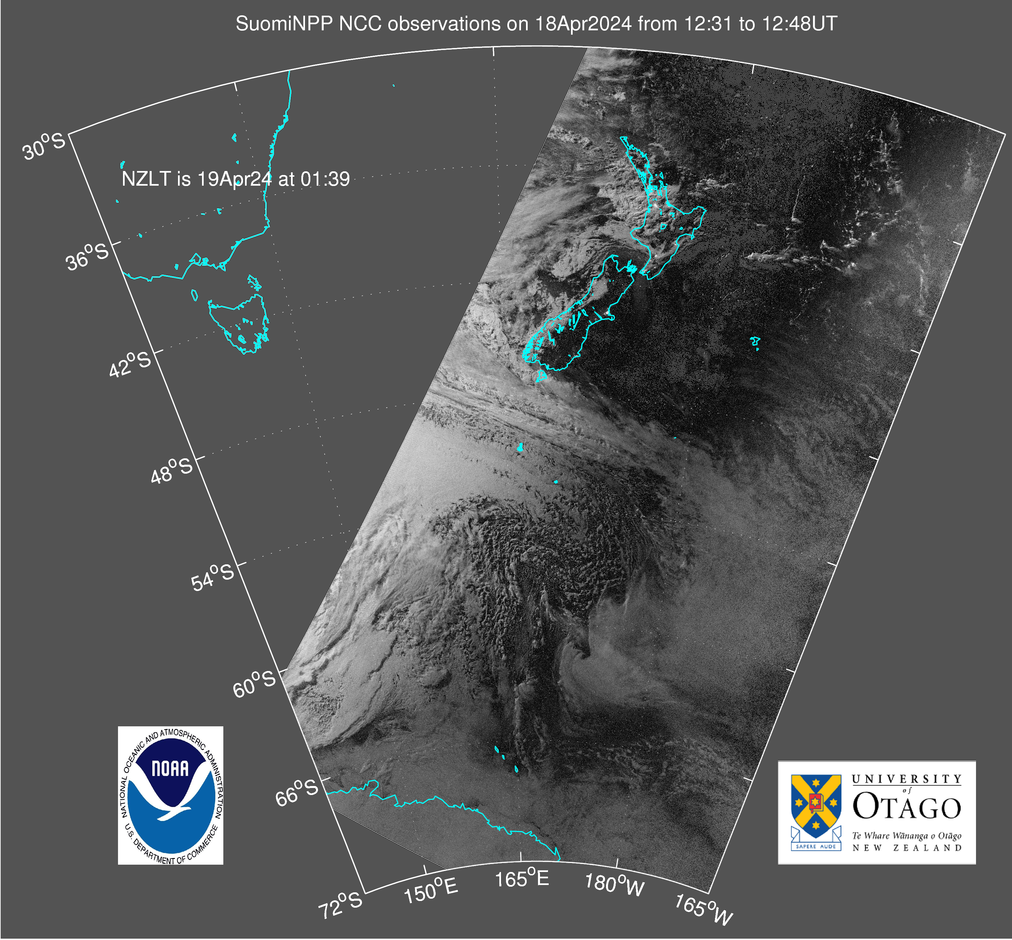
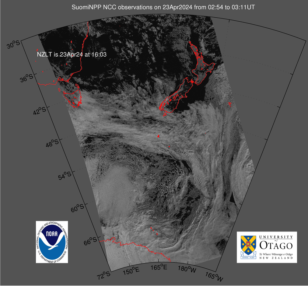
Suomi NPP (night)
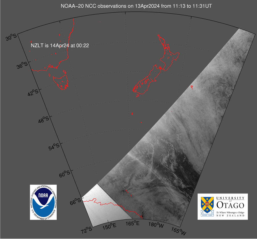
NOAA-20 (night)
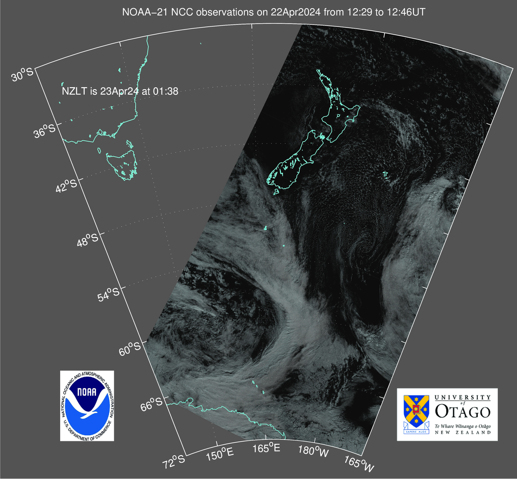
NOAA-21 (night)
Suomi NPP (day)
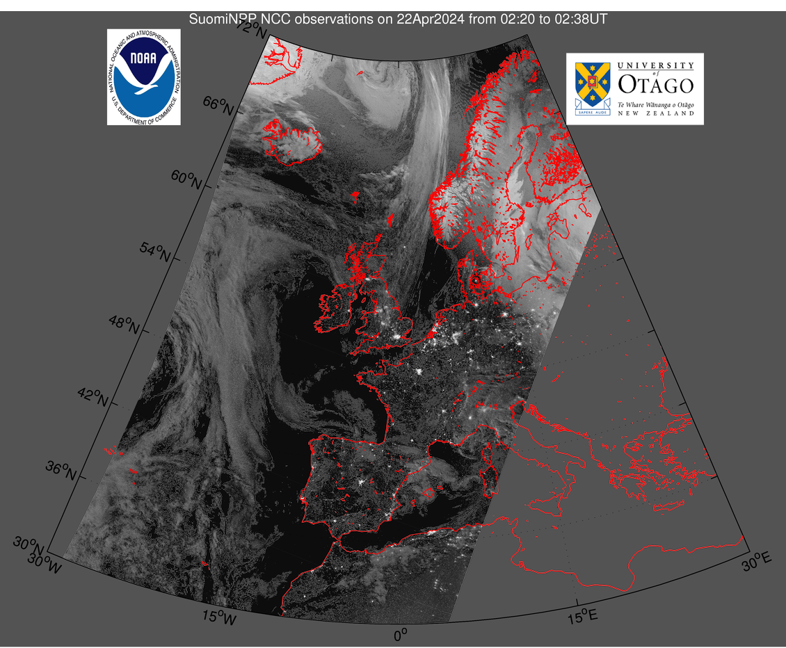
EUROPE IMAGES
Suomni (night)

Suomni NPP (night)
ABOUT THE IMAGES
The Suomi NPP images come from the Suomi National Polar-orbiting Partnership weather satellite, operated by NOAA. This image is the Near Constant Contrast product made by the Day Night Band of the VIIRS sensor (i.e., NCC DNB VIIRS). VIIRS is the Visible Infrared Imaging Radiometer Suite, and is one of five key instruments onboard the current generation of US polar-orbiting Earth observation satellites. Suomni NPP was a stop-gap between NOAA's Polar Operational Environmental Satellites (POES) weather spacecraft and the Joint Polar Satellite System. Suomni NPP was launched in 2011 into a Sun-synchronous orbit at ~840km altitude.
NOAA-20 is the second of the Joint Polar Satellite System satellites, with Suomi-NPP regarded as the first. Before launch is was termed JPSS-1. It was launched in November 2017 into the same orbit as Suomi NPP, but located 50 minutes ahead. It was declared fully operational by NOAA on 30 May 2018.
NOAA-21 is the third of the Joint Polar Satellite System satellites. Before launch is was termed JPSS-2. It was launched in November 2022 into the same orbital plane as Suomi NPP and NOAA-20. It was declared fully operational by NOAA on 30 March 2023.
Image processing provided by the Otago University Space Physics Group using NOAA's publically accessible datasets.